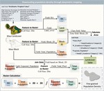
Wildfire Resilience Research Project
Supervisor: Yi Qi Team member: Zongrong Li, Qiluo Li, Haiyang Li
This project presents a detailed analysis of the 2023 wildfires in Hawaii, particularly focusing on Maui Island, with the goal of developing a cost-effective and efficient wildfire assessment model.
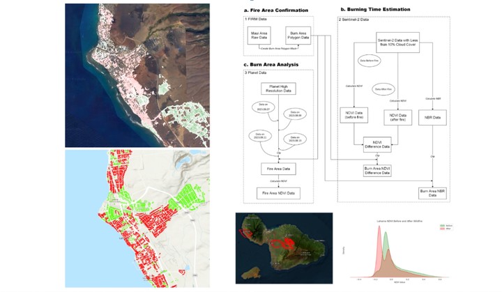
Methodology: three-tiered approach, initiating with broad-scale fire detection using high-frequency FIRMS data at approximately 1-kilometer resolution. It then progresses to a more refined analysis using high-resolution Sentinel 2 data (20-meter resolution with a five-day revisit cycle) and Planet data (3-meter resolution), specifically targeting the evaluation of vegetation cover impact, employing the NDVI index for accurate and timely updates.
key advantages:
Integration of public and commercial satellite data ensures comprehensive coverage and targeted, cost-effective analysis.
The combination of high-frequency and high-resolution data enables continuous monitoring and precise assessment of wildfire impacts.
Zongrong(Jasper) Li
Student at USC
My research interests include GeoAI, Urban Informatics and Spatial Data Fusion.
Publications
Multi-source Tri-environmental Conceptual Framework for Fire Impact Analysis